-
21
Oct
America’s Top 10 Scariest Roads

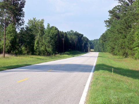
Image by pascal claivaz from Pixabay
Halloween is just around the corner. Scary and spooky stuff is everywhere. And we are here to bring you some adult-level scariness.
America may not have literal death roads but according to WHO (World Health Organization), the U.S. ranks high in terms of road deaths per capita. The annual rate is around 11 deaths for every 100,000 population. And that was scary, right?
We want to terrify you a little this time but most importantly, we want you to take extra caution when traveling these roads. Here are some of the deadliest highways in the U.S.
I-26 (South Carolina)
 KEN LUND/FLICKR
One of the most dangerous roads in South Carolina is a short portion of I-26. From 2000 to 2010, there were 325 recorded deaths in 286 car wrecks on this road. Based on the data, these accidents happened in the short section. 7 out of 9 deaths (in 2009) involved road ditches and trees.
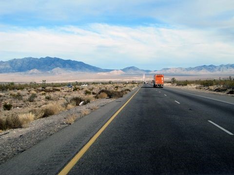
I-10 (Arizona)
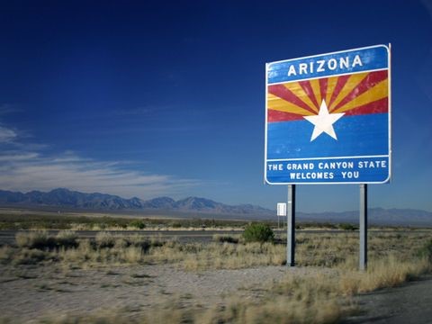 WING-CHI POON AT WIKIPEDIA
The Interstate 10 runs across the U.S. but a particular stretch from Phoenix to California (150 miles) is more dangerous. This section passing through the desert recorded 85 deaths in one year. This is a part of the total 700 annual average death toll in Arizona.
Highway 2 (Montana)
 NOMADIC LASS/FLICKR
Highway 2 is considered as one of the most dangerous rounds in the U.S. This is according to the University of Minnesota’s Center for Excellence in Rural Safety.
National Highway Transportation Safety Administration (NHTSA) found that roads in rural areas are deadlier than those in the urban. This is based on the fact that crash victims take a longer time to be transported to the hospital. Transportation time in rural areas has an average of 80 minutes vs. 15 minutes in cities. (Montana Department of Transportation)
Another factor that increases the danger is the sparse traffic making drivers drive faster.
Highway 550 (Colorado)
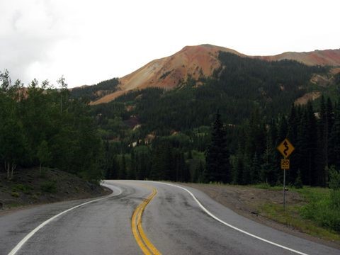 KEN LUND/FLICKR
The 25-mile part of Colorado’s Highway 550 connects Silverton and Ouray. This 11,000 feet above sea level highway passes through the Red Mountain Pass (San Juan Mountains).
This dangerous highway lacks shoulders and guardrails making it more likely for a deadly slide down the mountainside. It is also called the “Million Dollar Highway.”
Dalton Highway (Alaska)
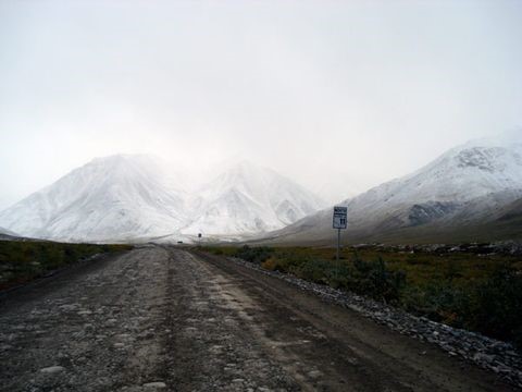
The John Dalton Highway or haul road is a 414-mile dirt road from Alaska’s North Slope to Fairbanks. It was opened in 1974 to allow trucks to transport gas and oil.
It is a twist and turns around the mountains of Brooks Range. The coldest temperature (-80oF) ever recorded happened there in 1971.
It became the truck driver’s pet-peeve when this two-lane road was opened for tourists in 1994.
There are helicopters patrolling the highway twice a day looking for breakdowns and accidents because road services are very few. There is a single fuel stop in Coldfoot located at the northern end of the highway.
There are about 10 car crashes and 1 fatality per year on average involving single-vehicle rollovers.
U.S. 431 (Alabama)
Reader’s Digest named the 98-mile section of U.S. 431 from Phoenix to Alabama as one of the nation’s deadliest roads.
From 1999 to 2010, there were 20 deaths in this section. Victims’ families and friends placed white crosses on the road.
The crashes were attributed to limited visibility and traffic density. It was widened to 4 lanes in 2004 and bridges were replaced.
I-95 (Connecticut)
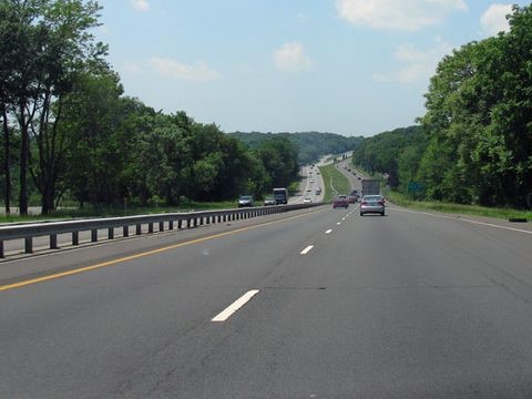 THISISBOSSI/FLICKR
In 2009, 10% of all car accidents in Connecticut happened in the 8-mile section of I-95 (in Norwalk City).
The curves, hills, and traffic congestion resulted in 735 vehicle crashes in one year.
Route 138 (California State)
 KEN LUND/FLICKR
Highway 138 in California is also called “highway of death” by local drivers. From 1995 to 2000, there were 56 fatalities and 875 injuries on this road. This twisty and steep two-lane road was labeled “blood alley” when the death toll reached to 10 every year.
Road mishaps were lessened since 2006 when the highway was made wider.
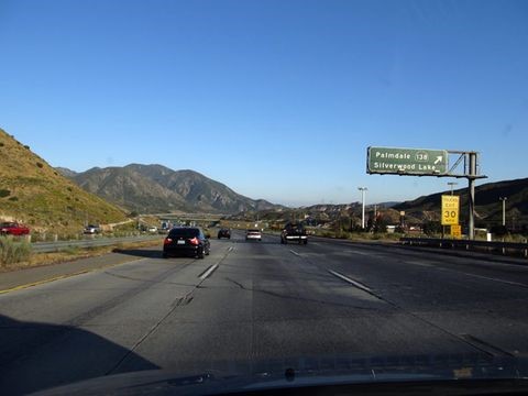
I-15 (Los Angeles to Las Vegas)
 MICHAEL GAT/FLICKR
Around 8 million people travel from Southern California to Nevada back and forth. The 180-mile section of the road had more deaths than any other road in the state mostly involving victims not wearing seatbelts.
Some drivers claim that vehicular accidents were because of drunk driving and distracted driving. From 2000 to 2005, there were 173 deaths recorded.
U.S. 24 (Fort Wayne to Toledo)
 KEN LUND/FLICKR
Several organizations helped in improving the U.S. highway 24 for more than 20 years. The improvements were finished in 2012.
It was a 23-mile two-lane road before it was developed into a widened highway. Fatal crashes – mostly head-on collisions involving commercial trucks – happened on this road. It was known as the “killway.”
Eliminating tolls from the Ohio Turnpike gave way for a wider route for commercial trucks.
 Image by free stock photos from www.picjumbo.com from Pixabay
There you have it! We hope that we have scared you a little with our Halloween special. But most of all, we want you to drive carefully by knowing more about the most dangerous roads in the U.S. Stay safe!
If this post has been helpful, feel free to share it on social media. You can also leave a comment below.
For all of your car shipping, fleet leasing, household goods moving needs, and more, we are your trusted auto transport broker – Balch Logistics.


